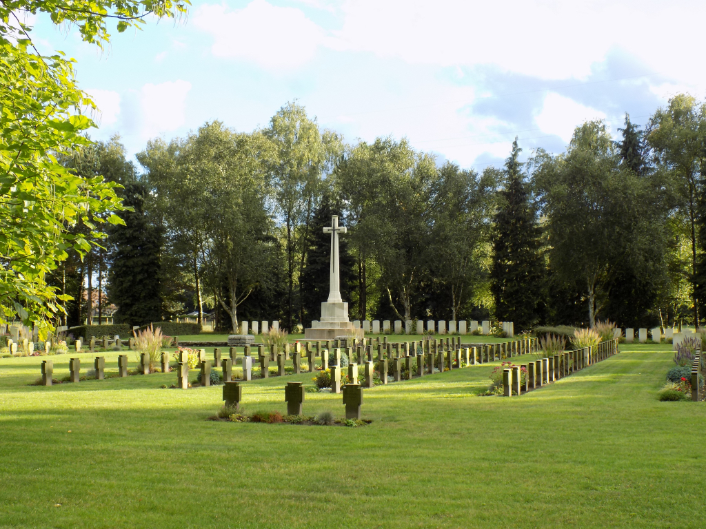
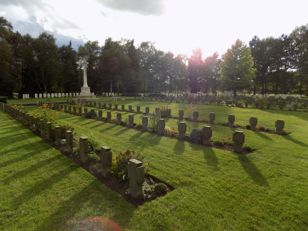
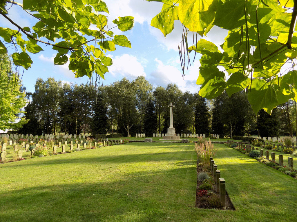
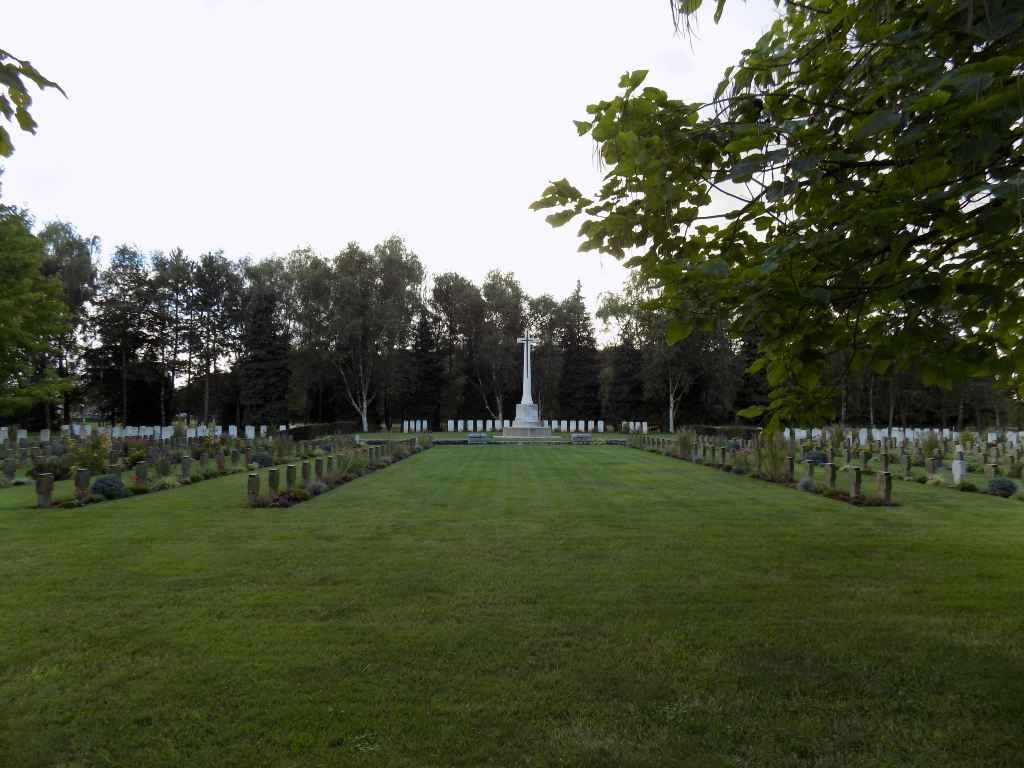
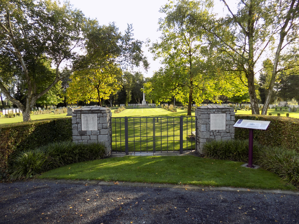
Hautrage Military Cemetery
- Country Belgium
- Total identified casualties 362 Find these casualties
- Region Hainaut
- Identified casualties from First World War
- GPS Coordinates Latitude: 50.4728, Longitude: 3.78334

Location information
The cemetery is located 15 Kms west of Mons on the N547, a road leading from the N50 Route de Wallonie connecting Mons to Tournai. 15 Kms along the N50 immediately before the village of Hautrage lies the left hand turning onto the N547 Grande Route de Mons. The cemetery is located 800 metres along the N547 on the right hand side of the road. GPS Co-ordinates: Longitude 03°47'00", Latitude 50°28'22"
Visiting information
Wheelchair access possible via main entrance. For further information regarding wheelchair access, please contact our Enquiries Department on telephone number: 01628 634221
History information
The village of Hautrage was in German hands during almost the whole of the First World War. The military cemetery was begun by the Germans in August and September 1914, and in the summer of 1918 they brought into it a large number of British graves of 1914, mostly of the 2nd Cavalry and 5th Infantry Divisions, from the surrounding battlefields and local cemeteries. After the Armistice 24 British graves were brought in from COUVIN, MARCHE, MARIEMBOURG and THUIN GERMAN CEMETERIES and from COLLARMONT GERMAN CEMETERY, CARNIERES. 85 German graves were brought in from the country South-West of Mons. There are now 235 Commonwealth burials and commemorations of the First World War in the cemetery. 60 of the burials are unidentified and there are special memorials to five soldiers known or believed to be buried among them. Other special memorials commemorate casualties buried in Marche German Cemetery (Belgian Luxembourg), whose graves could not be found on concentration. The cemetery also contains 537 German war graves.