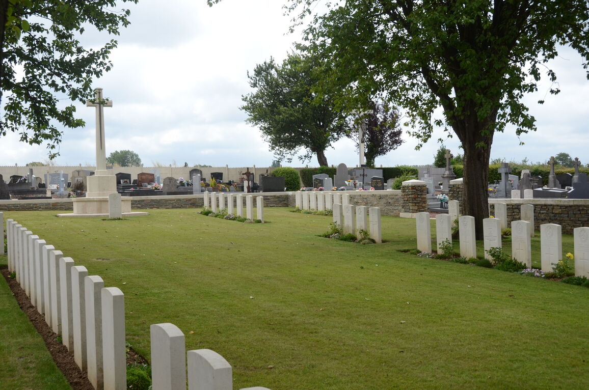
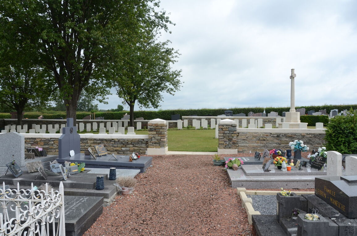
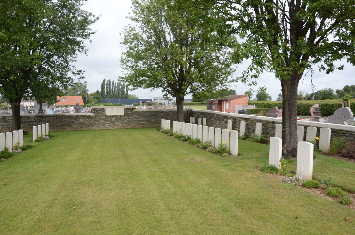
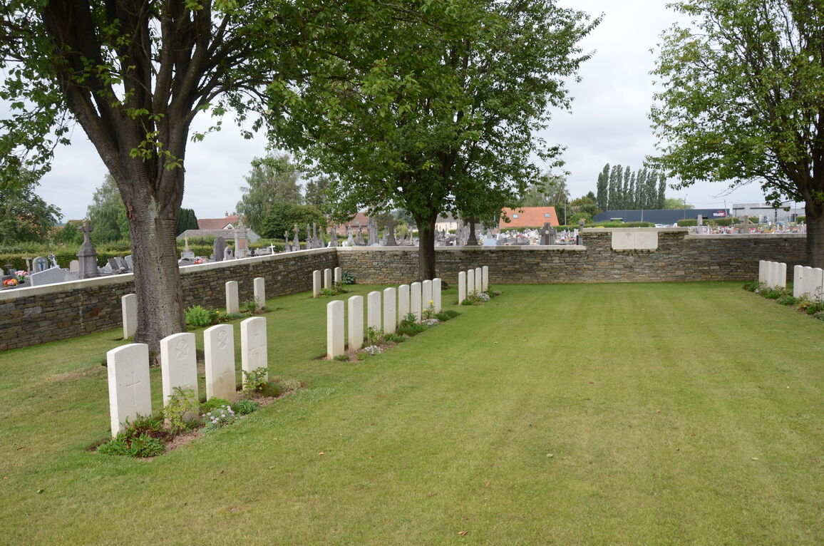
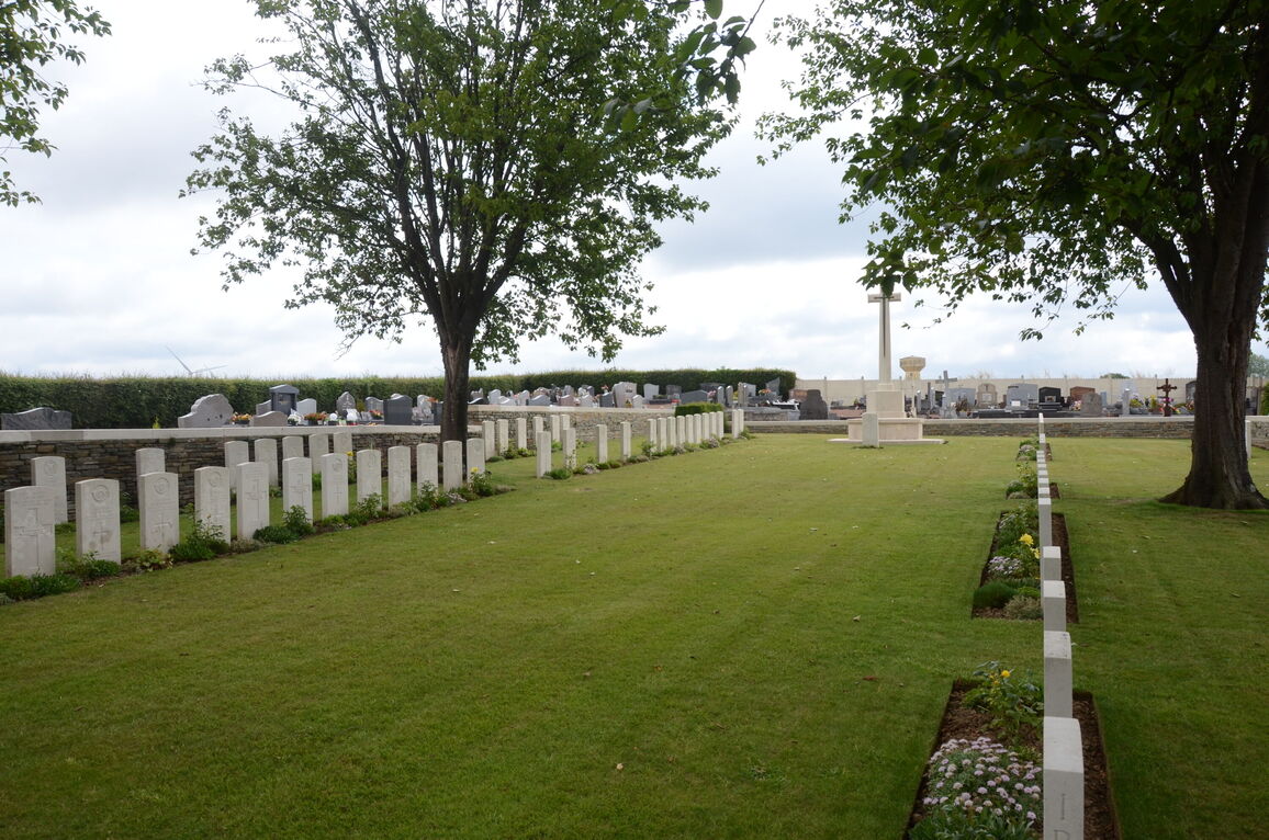
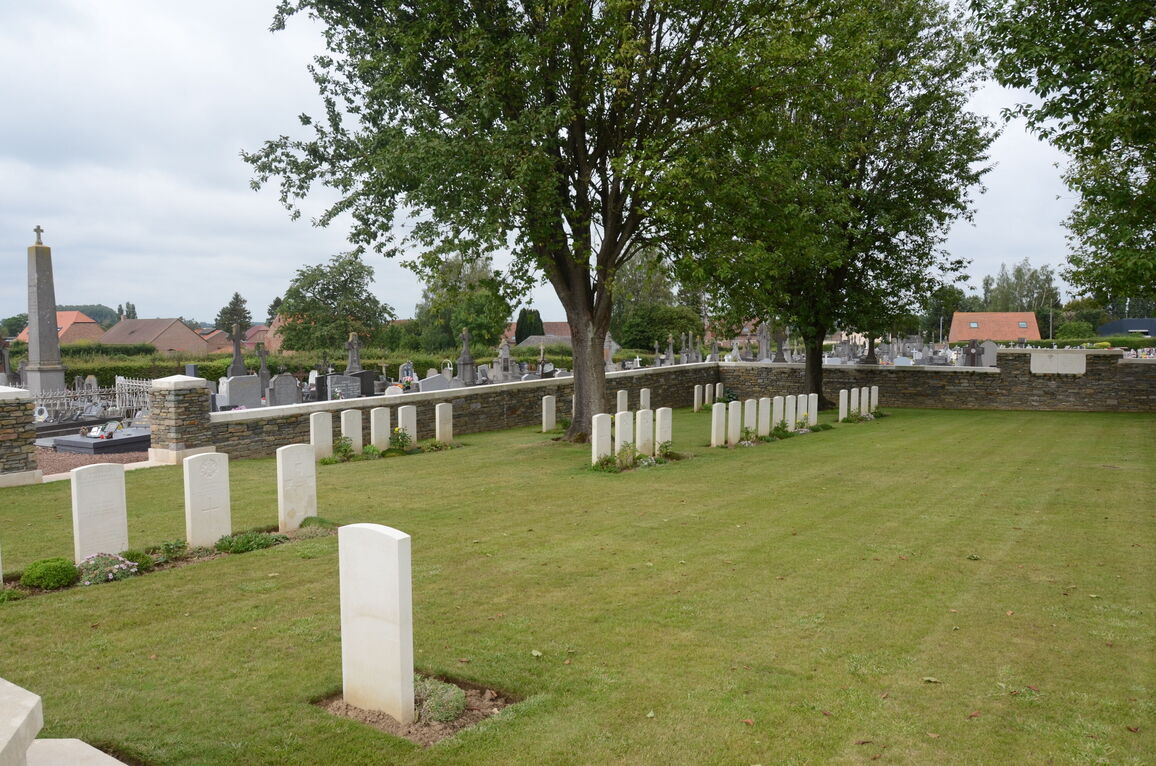
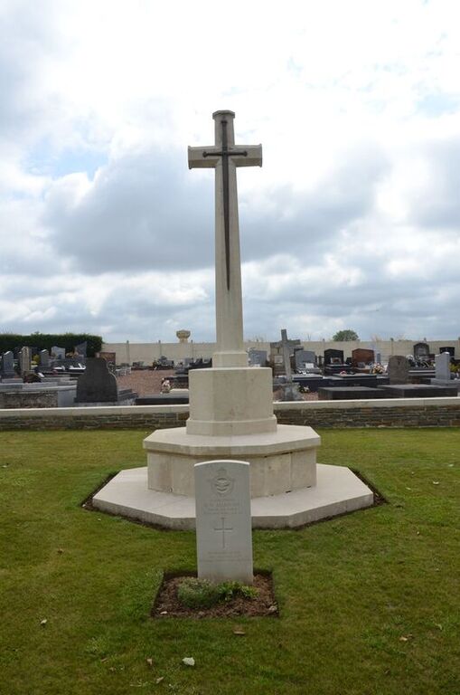
Poix-Du-Nord Communal Cemetery Extension
- Country France
- Total identified casualties 94 Find these casualties
- Region Nord
- Identified casualties from First & Second World War
- GPS Coordinates Latitude: 50.19511, Longitude: 3.61001
Location information
Poix-du-Nord is a village about 66 kilometres south-east of Lille and 8 kilometres south of Le Quesnoy. This town is also south-east of Lille, and is on the main Valenciennes-Landrecies-Guise road. The Cemetery is on the northern side of the village on the road leading to Ghissignies. Poix-du-Nord is about 8 kilometres south of Le Quesnoy. The Extension is on the north side of the Communal Cemetery.
Visiting information
Wheelchair access to this site is possible via the main entrance. For further information regarding wheelchair access, please contact our Enquiries Section on 01628 507200.
History information
The village of Poix-du-Nord was captured in the latter part of October 1918. It was later "adopted" by the Borough of Keighley. The Extension was made after the capture of the village, and increased after the Armistice by the concentration of graves from the following cemetery:- ESCARMAIN COMMUNAL CEMETERY EXTENSION. This was at the back of the Communal Cemetery and was begun by the Germans, but continued to be used by the 2nd Division Burial Officer after the capture of the village at the end of October 1918. It contained the graves of 20 German soldiers and 27 from the United Kingdom. There are now nearly 100, 1914-18 and a small number of 1939-45 war casualties commemorated in this site. The Extension covers an area of 621 square metres and is enclosed by a rubble wall.