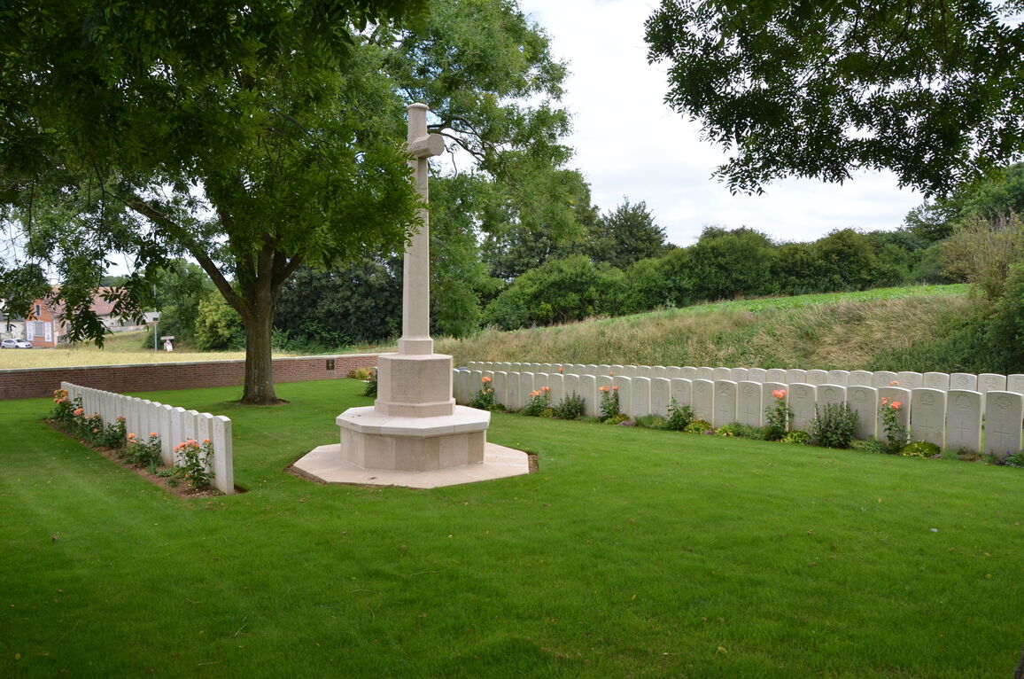
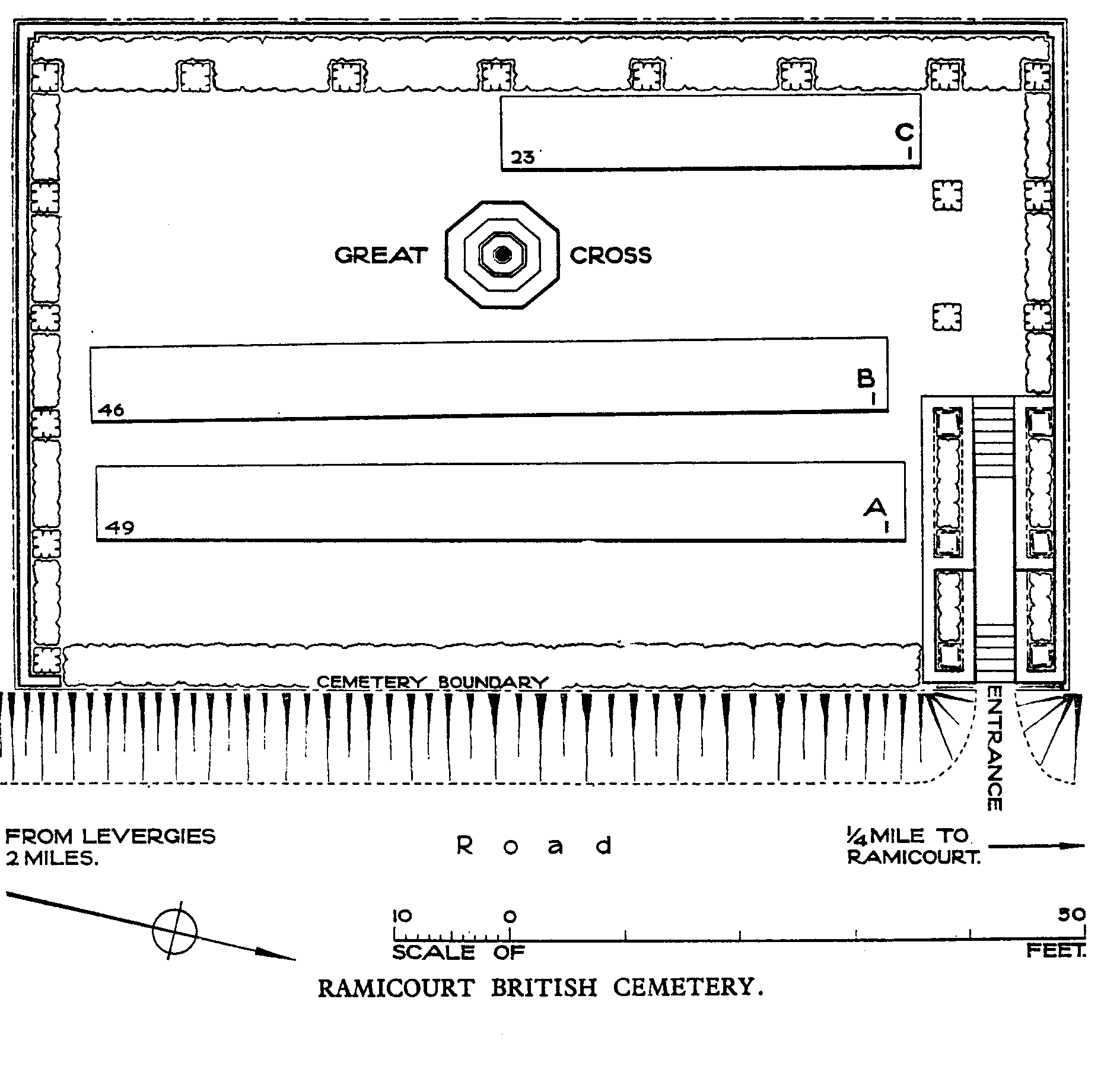
Ramicourt British Cemetery
- Country France
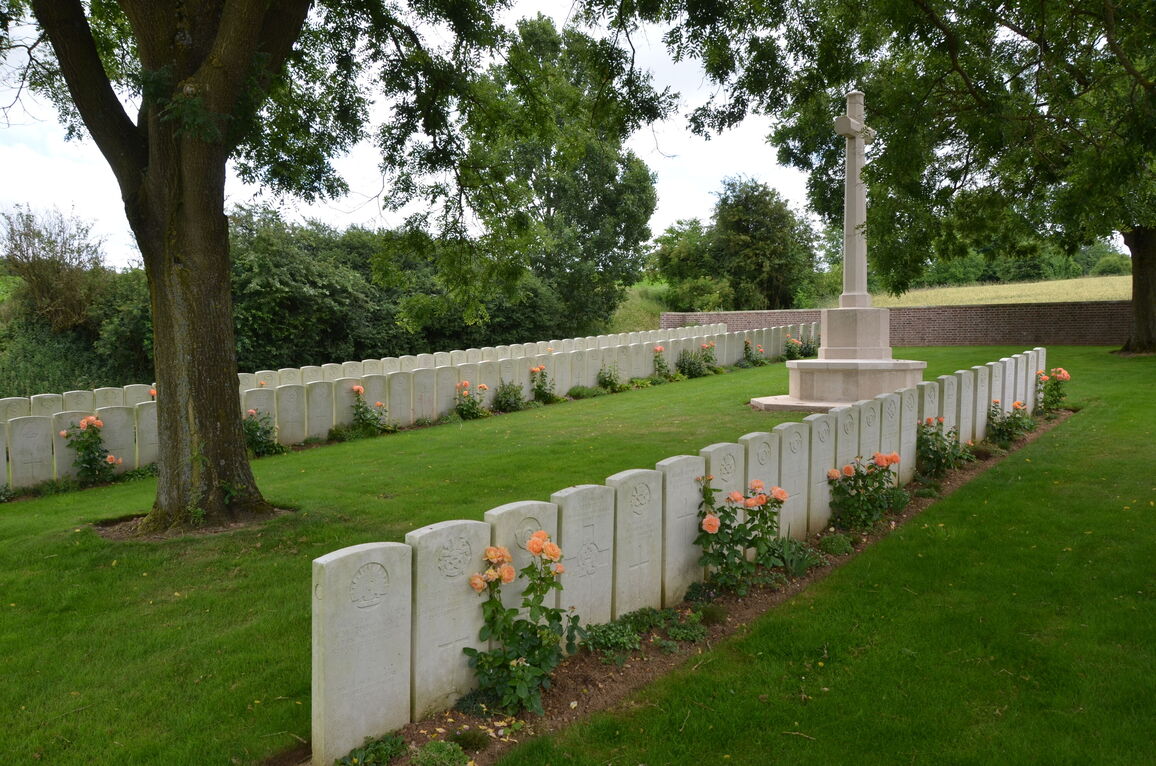
- Total identified casualties 108 Find these casualties
- Region Aisne
- Identified casualties from First World War
- GPS Coordinates Latitude: 49.95473, Longitude: 3.33105
Location information
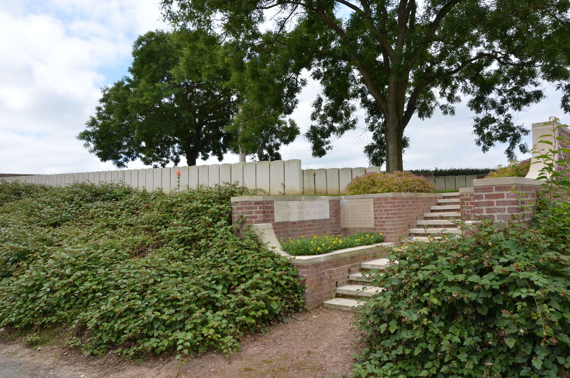
Ramicourt is a commune 31 kilometres south of Cambrai, and 10 kilometres south-east of Gouy, in the department of Aisne. The British Cemetery is on the south side of the village on the road to Levergies.
Visiting information
The location or design of this site makes wheelchair access very difficult. For further information regarding wheelchair access, please contact our Enquiries Section on enquiries@cwgc.org or 01628 507200.
History information
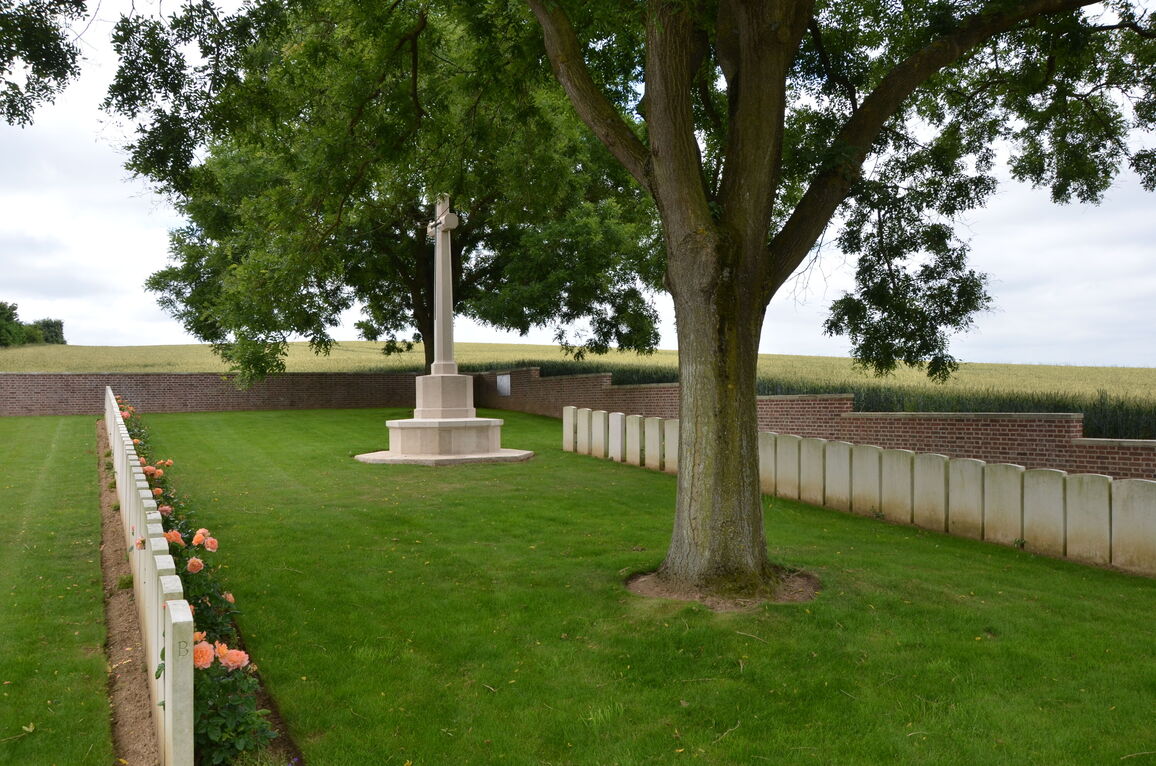
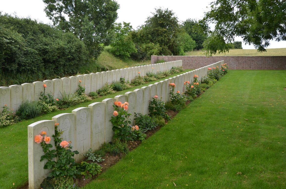
The village of Ramicourt was immediately east of the German fortification known as the Beaurevoir-Fonsomme Line. It was captured by the 1/5th, 1/6th and 1/8th Sherwood Foresters on 3 October 1918, and the cemetery was made immediately after, close to a small German cemetery (since removed), by the 18th Field Ambulance and the 18th Corps Burial Officer.
Ramicourt British Cemetery contains 118 First World War burials, ten of them unidentified.
The cemetery was designed by W H Cowlishaw.